
Garachico · Towns of Tenerife
Garachico: the port the volcano took
For two centuries Garachico was Tenerife's great harbour, shipping sugar and malmsey wine to Europe and the Americas. In the spring of 1706 a volcano filled its bay with lava. What the eruption destroyed, and what the town built on top of it.
7 min read · 7 sources · Updated October 2026
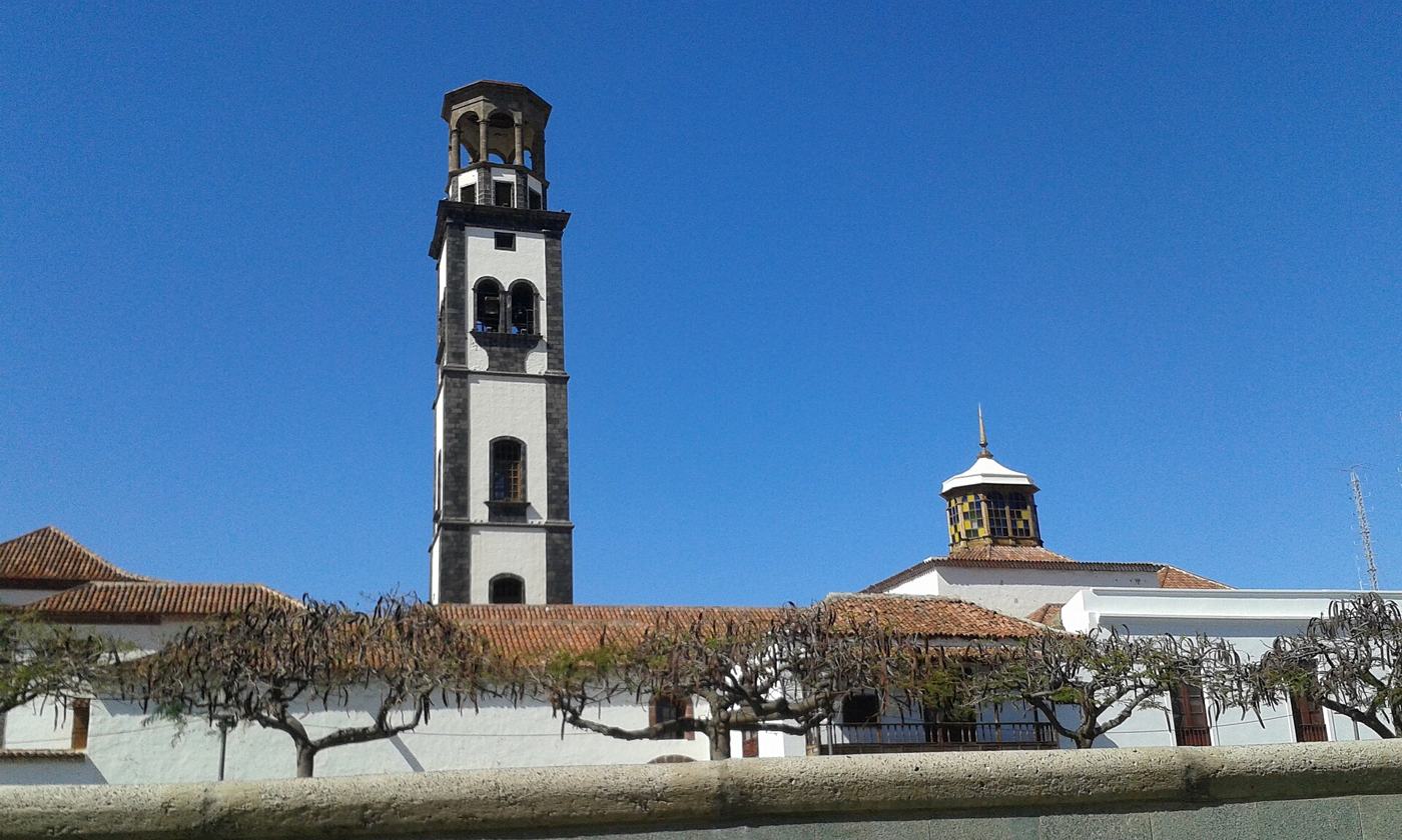
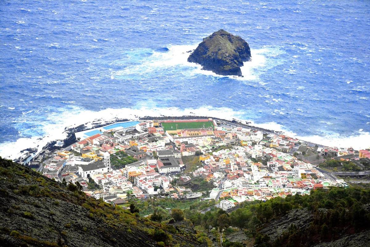
Garachico · Mike McBey, CC BY 2.0
Alexander von Humboldt, who visited Tenerife in 1799, recorded that in 1706 a volcanic vent opened south of "the port of Garachico, which at the time was the most beautiful and the most frequented of the island".2 For two hundred years Garachico had been Tenerife's window on the world. In forty days of lava it lost its harbour, three quarters of its people and its future as a port. It kept its streets, its churches and a stubborn sense of itself, and today its old town is a protected historic ensemble.
The Genoese cove
Garachico was founded at the end of the fifteenth century by the Genoese banker Cristóbal de Ponte, and its bay was long known as the Caleta del Genovés, the Genoese cove.12 The site was not an easy one. The town sits on a narrow platform of old lava flows at the foot of a cliff about 500 metres high. A document of 1541 complains that it had been "settled very close to the sea, on badlands and crags and useless ground", and that people had built their houses by carrying in earth from elsewhere and breaking up great boulders.1
The town grew slowly at first: ten houses in 1510, a single paved street by 1549.1 Then trade took off. The bay was a horseshoe-shaped inlet about 330 metres wide, sheltered and deep, in a part of the island where steep ravines made roads difficult and the sea was the easiest route even for local trade.1 Sugar from the mills on the slopes went out first; then the vineyards took over and malmsey (malvasía) wine became the great export. In the sixteenth century Garachico was the second town of Tenerife after La Laguna, linked by sea to Europe, Africa and the Americas.1
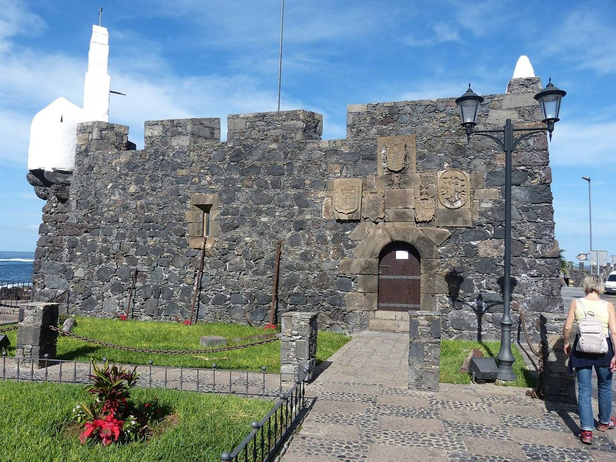
Society was laid out on the ground. The wealthy settled in the central strip, close to the farmland and the springs at the foot of the cliff and safe from the sea; artisans, merchants and sailors lived in poorer houses on the rough lava near the shore.1 The engineer Leonardo Torriani, who mapped the town for Philip II around 1588, drew a fan-shaped plan with three curved streets, Arriba, Medio and Abajo, and noted that the coast was "well defended, because it is surrounded by a malpaís", rough lava that made landing difficult.1 In the 1570s, in Philip II's reign, the small Castillo de San Miguel was built to guard the harbour against pirates.7
A town of artists
Wine money paid for convents, churches and the noble houses of the Calle de Arriba, and it attracted artists. The art historian Clementina Calero Ruiz speaks of a Garachico school of sculpture in the seventeenth century, led by craftsmen trained in Andalusian workshops.3 On 15 July 1635 the sculptor Martín de Andújar contracted the main altarpiece of the parish church of Santa Ana; in 1636 Juan González de Puga and Gabriel Hernández made the altarpiece of Our Lady of the Rosary for the Dominican convent, which is now in Santa Ana. In 1641 Andújar sailed from Garachico's own harbour to Guatemala.3
Troubles before the fire
The decline began before the volcano. From 1633 the port lost its lead to La Orotava and Santa Cruz.1 In 1645 a flash flood killed about a hundred people, destroyed eighty houses in the Los Reyes quarter, sank fourteen ships and partly silted up the bay. Fires in 1692 and 1696 burned more than 110 houses and the Augustinian convent.1 Abroad, the Methuen Treaty of 1704 gave Madeira wine priority in England over Canarian wine, and the War of the Spanish Succession drove many foreign merchants from the island.1
Forty days in 1706
Tenerife had been shaking for more than a year. Three eruptions in 1704 and 1705, at Sietefuentes, Fasnia and Arafo, were followed by months of earthquakes.1 On the night of 4 to 5 May 1706 the tremors around Garachico became so violent that people fled to the churches. An hour before dawn a loud explosion was heard: a fissure about 950 metres long had opened 1,300 metres up the mountain, some 6.5 kilometres from the town.1
That evening, at about seven, the first lava poured over the cliff to the south-west, cutting the road to San Pedro de Daute and burning vineyards. At nine, more flows came down the ravines of La Atalaya and Barranco Hondo, followed the Barranco de Los Reyes to the beach and began to fill the harbour; over the following days they pushed the shoreline about 250 metres out to sea.1 Glowing blocks rolled ahead of the lava and set fire to buildings made with resinous pinewood (tea).1
On 12 May, the eve of Ascension Day and the day of a total eclipse of the sun, new flows reached the heart of the town. The convent of San Francisco burned, the fire spread to the noble houses of the Calle de Arriba and the parish church was badly damaged; the mills, the water channels and the best farmland disappeared under the lava.1 On 28 May a lava front came within a hundred metres of the sea and the town was evacuated completely. The eruption ended on 13 June 1706, after about forty days.1
The contemporary chroniclers insist that "no human creature was in danger"; the deaths mentioned by later writers are not confirmed.1 The real loss was the harbour. In all the eruption covered 7.6 square kilometres. Garachico had about 1,600 inhabitants in 1706 and about 400 a year later: three quarters of the town left, for Icod, La Orotava, Puerto de la Cruz, Guía de Isora and, often, for the Americas. The population did not recover until well into the twentieth century.1
What survived
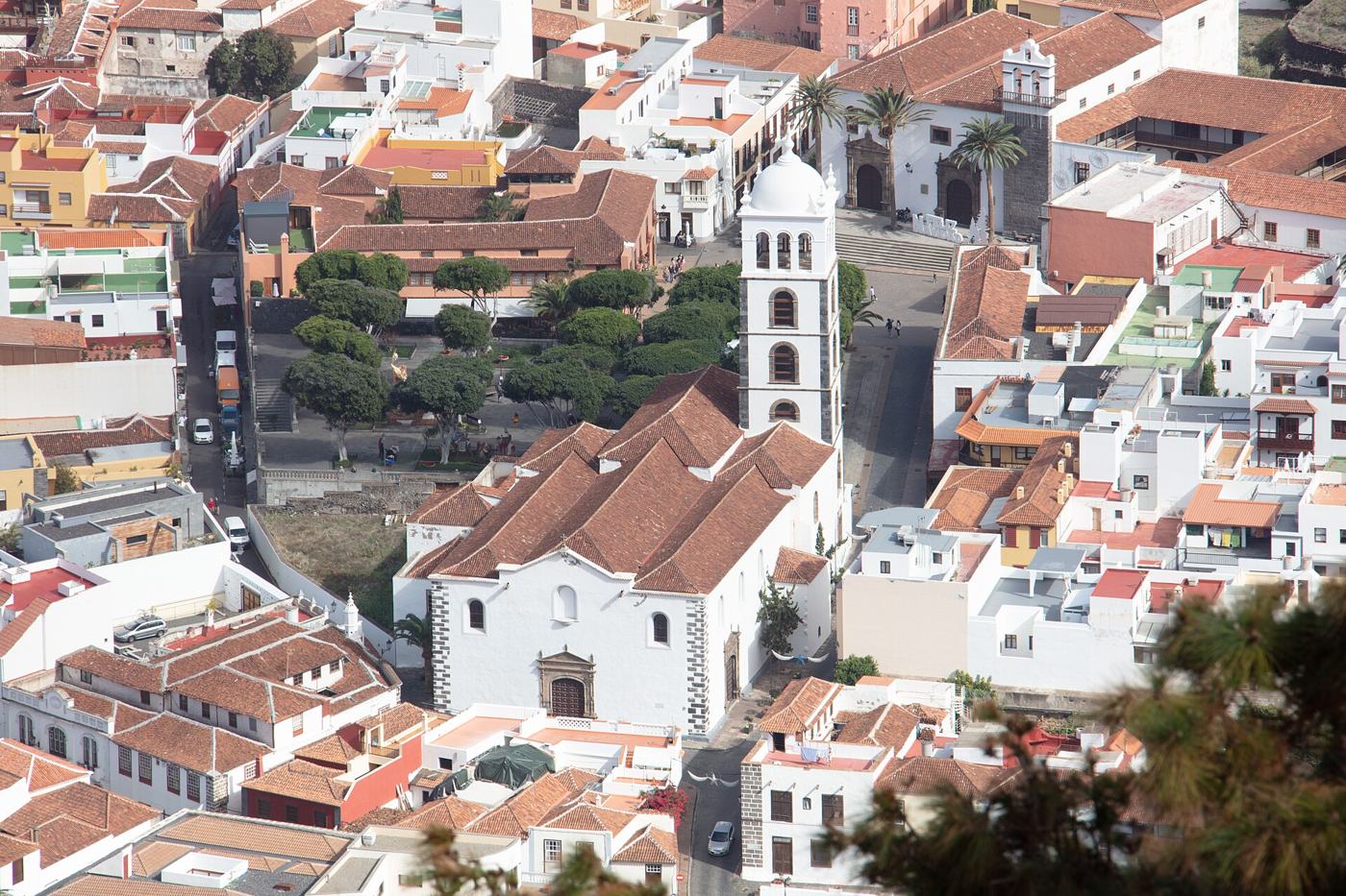
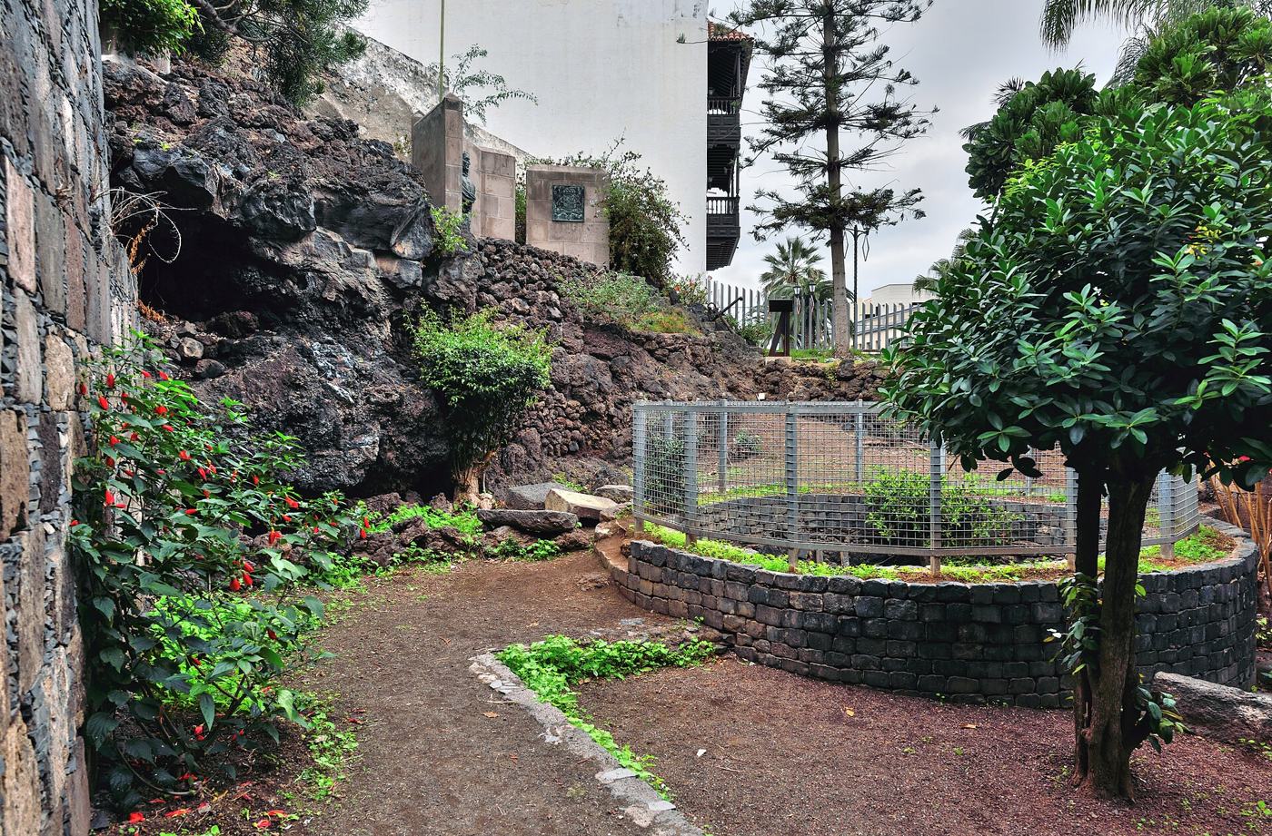
The lava stopped short of some buildings and spared others by chance. The old gate to the harbour, the Puerta de Tierra, still stands, now in a small park, a door that opens onto nothing but lava. The Palace of the Counts of La Gomera (1666) was damaged but survived; San Francisco and Santa Ana were rebuilt in the eighteenth century; the Casa de los Marqueses de la Quinta Roja and the Ermita de Los Reyes, on higher ground, came through untouched.12
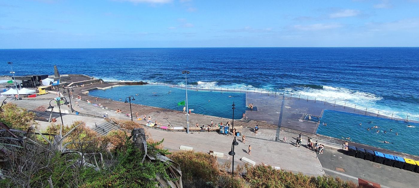
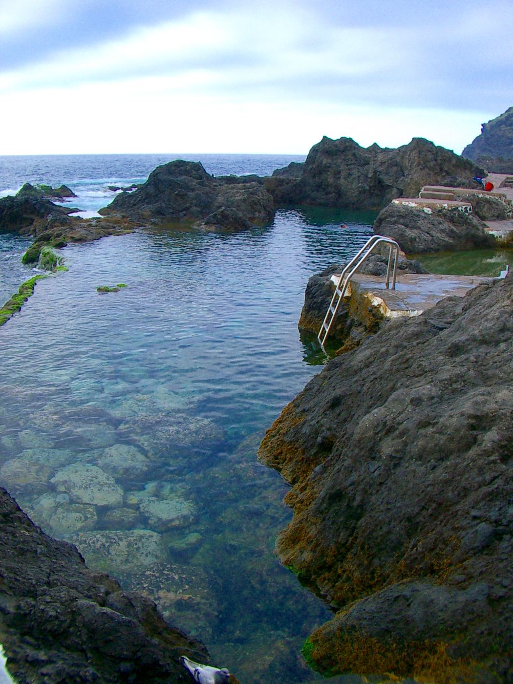
The lava that killed the port also made the coast that visitors enjoy today. The new platform of rough rock at the water's edge holds the natural pools of El Caletón, and the town's geotourism route of fourteen stops shows the flows of 1706 running through streets and gardens. Basalt and volcanic spatter from the eruption are everywhere in doors, windows, arches and paving.2 Every five years, during the fiestas of San Roque, the town commemorates the lava that buried its port.2
A protected town
The Spanish government opened the procedure to protect Garachico as a historic ensemble on 19 June 1980.5 It was completed fourteen years later: Decree 10/1994 of 11 February declared the "Villa y Puerto de Garachico" a Bien de Interés Cultural with the category of historic ensemble.4 It was the only Tenerife town to receive that status in the 1990s.6 The volcanologists who studied the eruption draw a lesson that goes beyond Garachico: a small, gentle eruption by geological standards became a disaster because of where it happened, and the coastal slopes of the island's volcanic rifts are far more densely populated today than they were in 1706.1
Notes and sources
- 1.C. Romero Ruiz and E. Beltrán Yanes, "El impacto de las coladas de 1706 en la ciudad de Garachico (Tenerife, Islas Canarias, España)", Investigaciones Geográficas 63 (2015), pp. 99-115, DOI 10.14198/INGEO2015.63.07. Based on the contemporary accounts of Fr. Juan García (1707) and Fr. Domingo José Cassares, Torriani's plan and later maps. redalyc.org
- 2.INVOLCAN (Volcanological Institute of the Canary Islands), Geoturismo urbano de Tenerife: Garachico, 2019, including the quotation from A. von Humboldt. tfgeoturismo.involcan.org
- 3.C. Calero Ruiz, "Garachico, punto de encuentro artístico. Aproximación al estudio de su escuela escultórica en el siglo XVII", Cuadernos de Historia del Arte 40 (2023), pp. 307-385. revistas.uncu.edu.ar
- 4.Decreto 10/1994, de 11 de febrero, Boletín Oficial de Canarias 28, 7 March 1994. gobiernodecanarias.org
- 5.Resolución de 19 de junio de 1980, Dirección General del Patrimonio Artístico, Archivos y Museos, Boletín Oficial del Estado 199, 19 August 1980. boe.es
- 6.J. S. López García, "Centros/conjuntos históricos de Canarias: identidad en un territorio isleño. Trayectorias 1973-2018", Revista de Historia Canaria 201 (2019), pp. 71-93. riull.ull.es
- 7.Press report: R. Herrera, "El secreto del castillo más antiguo de Tenerife", Diario de Avisos, 25 February 2026, which dates the castle to 1575 under Philip II. The exact building dates have not yet been checked against an archival source.