
Guía de Isora · Towns of Tenerife
Guía de Isora: from Teide to the sea
A long strip of land from the slopes of Pico Viejo down to the Atlantic, shepherds' routes and engraved rocks, a village that grew around its sixteenth-century church, and a corner of the island so isolated that roads only arrived in the twentieth century. The history of Guía de Isora.
5 min read · 5 sources · Updated October 2026
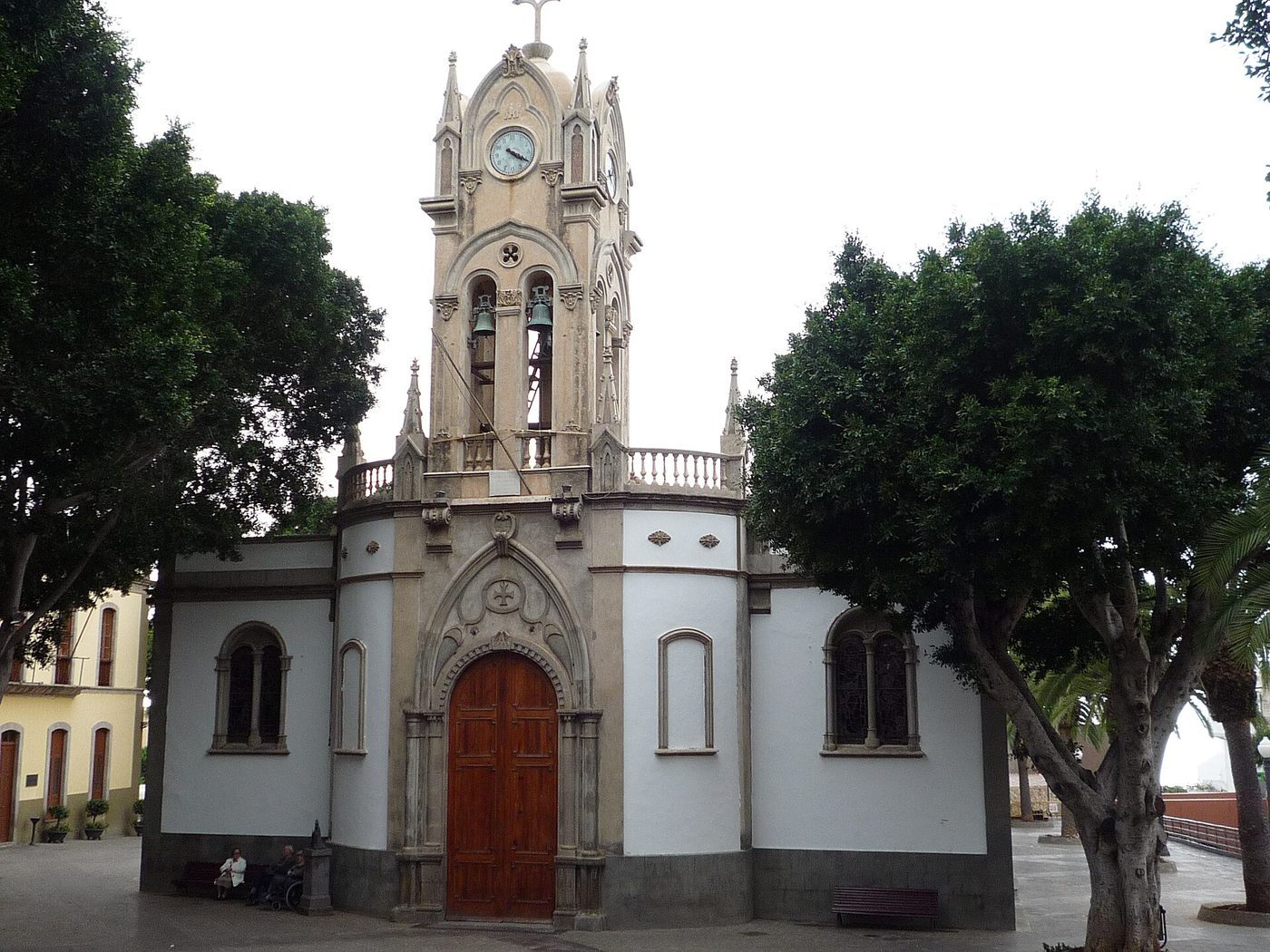
Iglesia de Nuestra Señora de la Luz · RHaworth, CC BY-SA 3.0
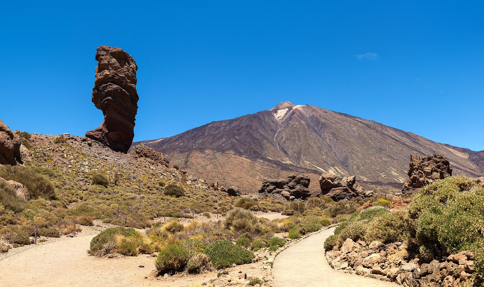
Guía de Isora is one of the five largest municipalities of Tenerife and one of the strangest in shape: a long band that climbs from the cliffs of the west coast to the foot of Pico Viejo, Teide's twin, at about 2,700 metres.5 Its villages are strung along that slope at the heights where water and farming allowed, and its history follows the same line, from the seasonal pastures of the Guanches in the high crater to the fishing villages and hotels of the coast.
Shepherds between the summit and the coast
The name of Isora is very old. Land grants of the early sixteenth century speak of the "malpaís de Isora", the lava fields of Isora, and of the ravine of Tejina; a member of the family of the last king of Adeje declared in 1558 that "the territory of Adeje stretches from the malpaís of Isora to the line of Abona". The archaeologists Alfredo Mederos, Gabriel Escribano and Vicente Valencia therefore place the area inside the menceyato of Adeje. They add a piece of oral tradition gathered by the doctor Juan Bethencourt Alfonso in the nineteenth century, according to which the brother and heir of the king of Adeje was called Izora and lived here.1 Whether Izora was a person or the name of a district, the coincidence is striking.1
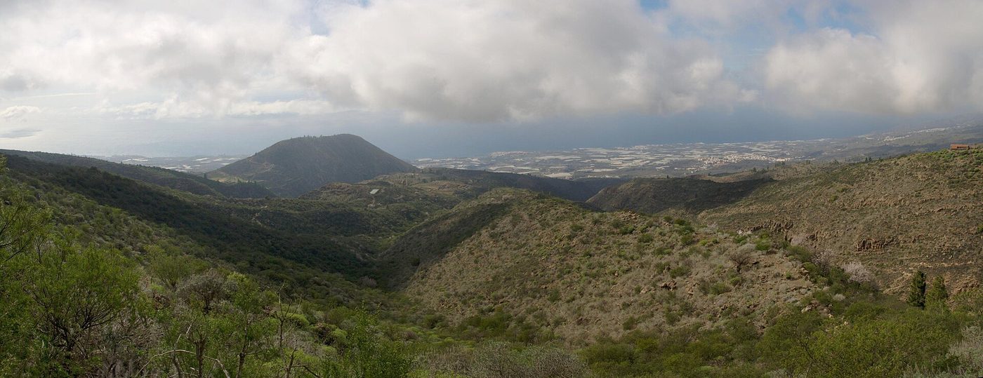
The landscape explains how people lived. Most of the archaeological sites found in surveys of the municipality lie on the slopes of the big ravines, Tágara-Guía, Tejina, Rodrigo, Chabugo and Erques, close to water.1 On the coast, the evidence suggests seasonal camps for herding, shellfish gathering and fishing. Seasonally the flocks went up to the high pastures of Las Cañadas, where archaeologists have excavated six huts on the mountain of Chasogo, at almost 2,000 metres, used in the fifteenth and sixteenth centuries, and a quarry where Guanche craftsmen roughed out hand-mill stones on the slopes of Cruz de Tea, at 2,200 metres, leaving 91 unfinished millstones behind.1
Some finds are exceptional. In 1960, while clearing land to build a reservoir at El Campanario, a landowner found two staffs and three shepherds' crooks of wood hidden in a small cave. A burial cave at Majagora, discovered in 1974, held the remains of some 35 people, one of them a man with a wooden spear point still lodged in his spine. In a lava tube at Arenas Negras, in the pine forest of Chío, two newborn babies were found in 2018; one has been dated to the first half of the fifteenth century, a few generations before the conquest.1 In November 1980 two brothers from Aripe reported engravings of human figures on a rock near their village: it was the first discovery of rock art in Tenerife, and it was followed by many more. In the coastal survey of 2005, a third of the 107 sites recorded were engraved rocks.12
A village around a church
After the conquest the land was granted to settlers in the usual way: in 1507 a spring "at Tejina in Adeje, with its caves, for your flocks" was granted to Fernando Guadarteme.3 The village of Guía grew, like so many in the Canaries, around its first church, which documents place at least in the first half of the sixteenth century; it was enlarged in the eighteenth century and much transformed in the nineteenth and twentieth.2 Its patroness is Our Lady of the Light, whose image is attributed to the sculptor Fernando Estévez of La Orotava, the author of the Virgin of Candelaria venerated today.4 Most of the houses of the historic centre, protected as a historic ensemble, date from the nineteenth century, in eclectic and neoclassical styles.2
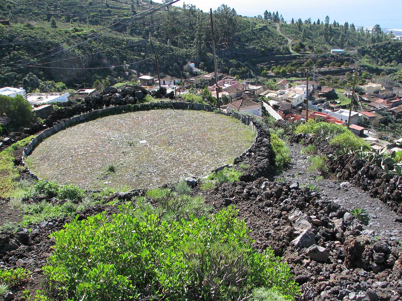
Higher up, the hamlets of Chirche and Aripe, between 700 and 900 metres, preserve the farming landscape of the island's southern slopes. They grew from the second half of the seventeenth century as homes for herders and farmers, built on the sites of older Guanche settlements, with cisterns, water channels, wine presses and cellars around modest houses; both are protected as historic ensembles.2 In the same century the lord of the neighbouring Valle de Santiago, Fernando del Hoyo, included the hermitage of Our Lady of the Rosary at Tejina de Isora among the chapels under his patronage.2
Isolation and emigration
For centuries Guía de Isora was one of the most remote places on the island. Archaeologists note that the distance and isolation of the municipality lasted until roads were built in the 1930s.1 Like many islanders of his time, the painter Manuel Martín González, born in Guía de Isora, emigrated to Cuba as a young man; he came back in 1932 and later painted two large murals for the new basilica of Candelaria.4
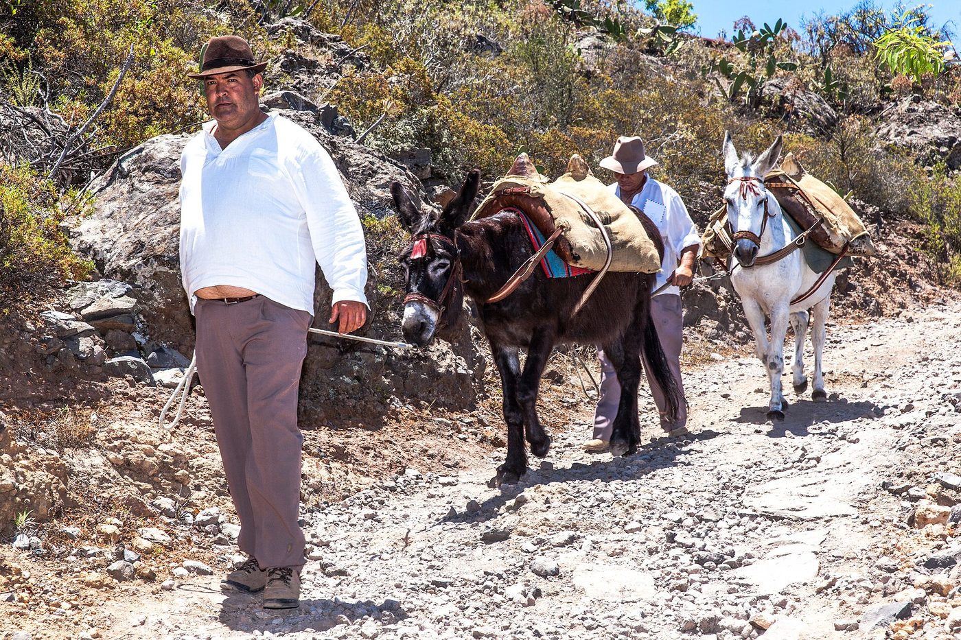
Down on the coast, Playa San Juan and Alcalá kept their fishing boats, and luxury hotels and golf courses now stand near Abama and Alcalá.5 At Abama, in 2001, an emergency excavation ahead of a golf course found the remains of a hut at the mouth of a ravine.1 The old village of Guía, high above them, has kept its church, its square and its nineteenth-century houses.2
Notes and sources
- 1.A. Mederos Martín, G. Escribano Cobo and V. Valencia Afonso, "Grabados rupestres, espacios domésticos y prácticas funerarias en el municipio de Guía de Isora (Tenerife, Islas Canarias)", Anuario de Estudios Atlánticos 72 (2025), 072-001, pp. 1-62. DOI 10.36980/11165/aea. revistas.grancanaria.com
- 2.Cabildo de Tenerife, Patrimonio Histórico de Tenerife. Catálogo de Bienes de Interés Cultural, 2018 (entries for the historic ensemble of Guía de Isora, the hamlets of Chirche and Aripe, the Aripe engravings and the Casa del Patio). tenerife.es
- 3.A. Mederos Martín and G. Escribano Cobo, "Prospección arqueológica de La Caleta de Adeje (Tenerife, Islas Canarias)", Revista de Historia Canaria 198 (2016), pp. 177-229 (section on the borders of the menceyato of Adeje). riull.ull.es
- 4.M. J. Riquelme Pérez, La Virgen de Candelaria y sus santuarios, doctoral thesis, Universidad de La Laguna, 1988 (references to the Virgin of the Light of Guía de Isora and to the painter Manuel Martín González). riull.ull.es
- 5.Cabildo de Tenerife (Wonderful Tenerife), Descubre Guía de Isora, tourist guide (municipal area, altitude range, coastal villages and hotels). wonderfultenerife.com
What's on in Guía de Isora now →
Fiestas, concerts and events from the town hall agenda, updated daily.
More towns in the series
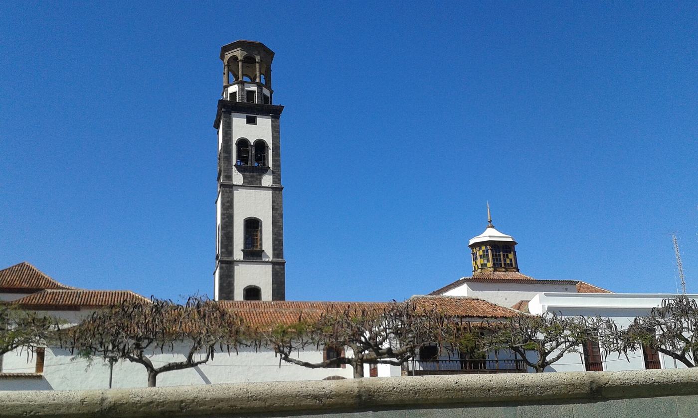
La Laguna · Towns of Tenerife
San Cristóbal de La Laguna: a town planned for peace
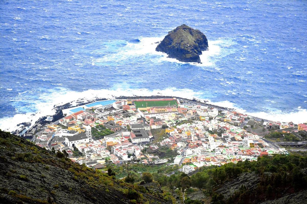
Garachico · Towns of Tenerife
Garachico: the port the volcano took
Bajamar · Towns of Tenerife
Bajamar and Punta del Hidalgo: La Laguna's shore
Candelaria · Towns of Tenerife
Candelaria: the shrine on the shore
Santa Cruz de Tenerife · Towns of Tenerife
Santa Cruz: from army camp to capital
La Orotava · Towns of Tenerife
La Orotava: a town drawn with a cord
Adeje · Towns of Tenerife
Adeje: the kingdom, the fortress and the marquises
La Caleta · Towns of Tenerife
La Caleta: Adeje's old harbour
Los Cristianos · Towns of Tenerife
Los Cristianos: the south's harbour
Las Galletas · Towns of Tenerife
Las Galletas: salt, fish and a garden city
Playa de las Américas · Towns of Tenerife
Playa de las Américas: a resort from scratch
Callao Salvaje · Towns of Tenerife
Callao Salvaje: a resort by decree
Playa Paraíso · Towns of Tenerife
Playa Paraíso: a paradise on paper
Playa San Juan · Towns of Tenerife
Playa San Juan: Guía de Isora's harbour
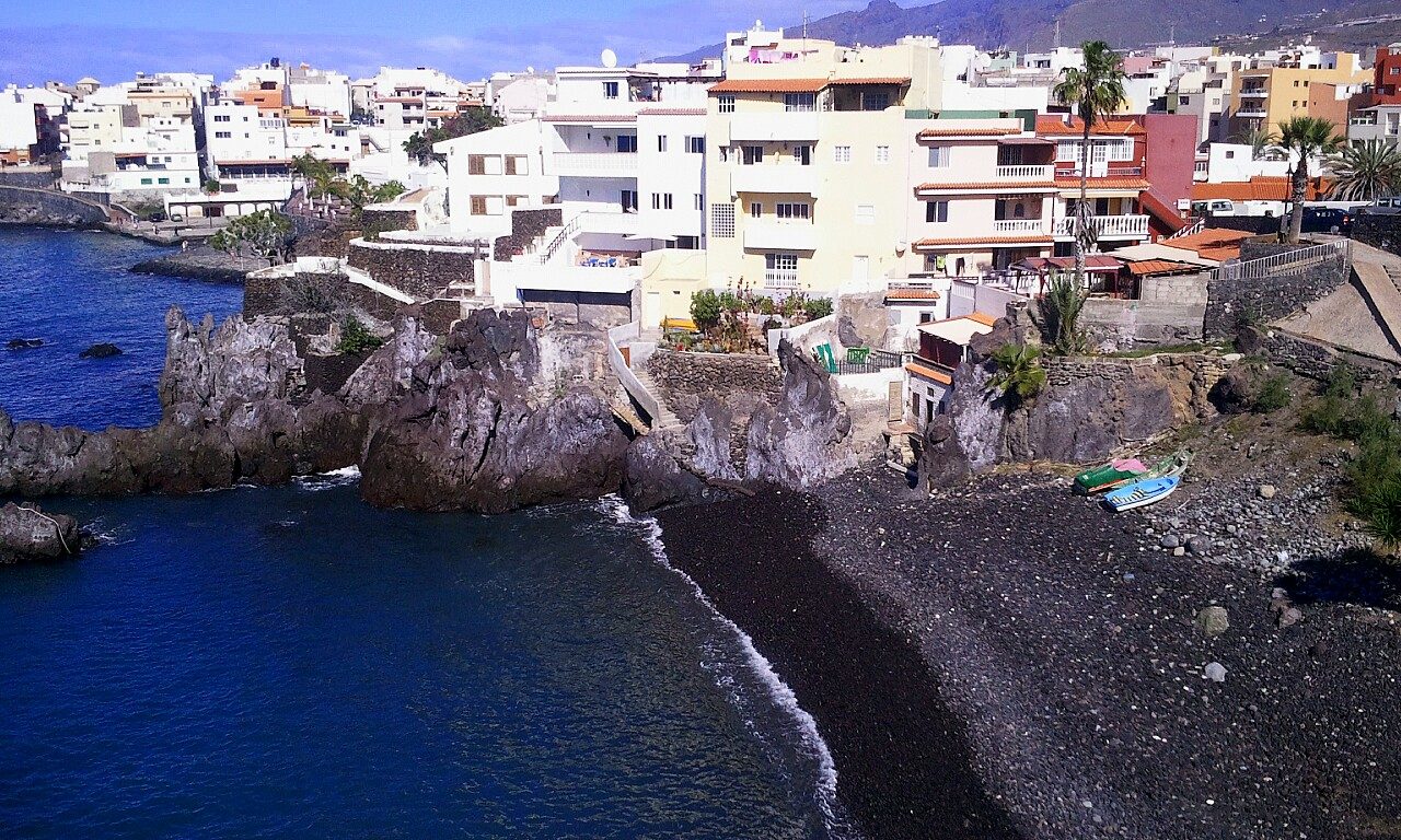
Alcalá · Towns of Tenerife
Alcalá: a fishing village on the lava
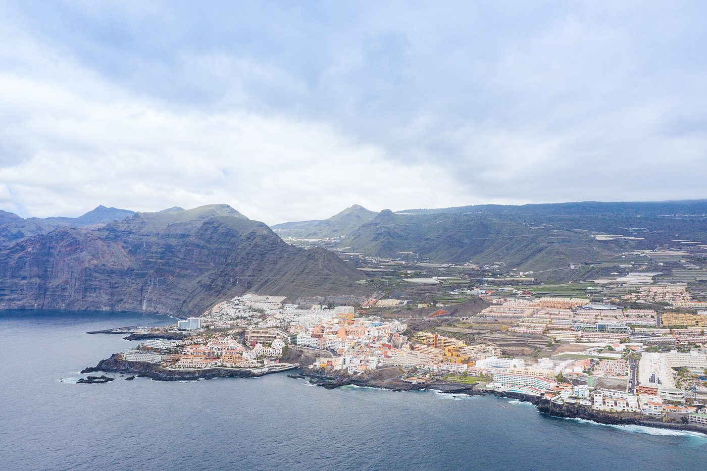
Puerto Santiago · Towns of Tenerife
Puerto Santiago and Los Gigantes: life below the cliffs
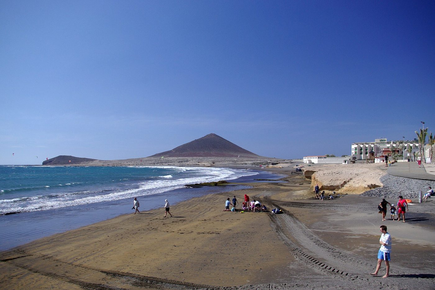
El Médano · Towns of Tenerife
El Médano: the harbour under the red mountain
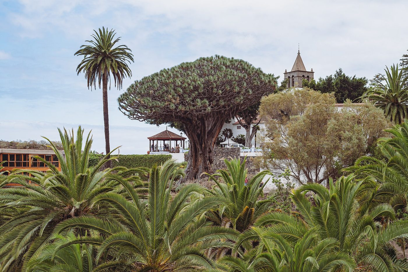
Icod de los Vinos · Towns of Tenerife
Icod de los Vinos: the dragon tree and the cove of San Marcos
Puerto de la Cruz · Towns of Tenerife
Puerto de la Cruz: from wine port to the first resort
San Juan de la Rambla · Towns of Tenerife
San Juan de la Rambla: a village on the badlands
Buenavista del Norte · Towns of Tenerife
Buenavista del Norte: a planned town at the end of the island